Horn of plenty
Jonathan Manning visits picturesque Isle of Whithorn to enjoy stunning sea views on an easy circular route from Garlieston Club Campsite
The south-west corner of Scotland combines some of the prettiest views and quietest roads that a cyclist can hope to meet. The world seems slower on the Machars peninsula in Dumfries and Galloway, to the point that A-roads feel like B-roads and B-roads like unclassified roads.
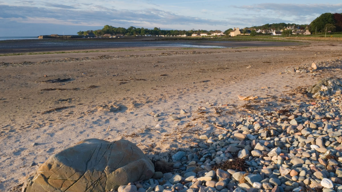
This route starts at the Club site in Garlieston, a coastal village with a small fleet of lobster fishing boats and an important connection to the 1944 ‘Operation Overlord’ D-Day landings in Normandy. To protect the invading Allied troops, the military designed artificial harbours that it could tow across to France and anchor at the landing beaches. Garlieston Harbour was selected as one of the secret test sites for these ‘Mulberry’ harbours, because its coastline and tides were similar to northern France, and even today the concrete remains of one of the prototypes are visible in Garlieston bay at low tide.
Heading due south, the ride continues to Isle of Whithorn, which turns out not to be a real island, but a village with a Romantic, end-of-the-world feel. Arriving in the village the route turns right opposite the harbour, but a diversion left is well worthwhile to visit the roofless ruins of St Ninian’s Chapel, just a short walk over a grassy field. An alternative walk from the same spot heads to the whitewashed and vertically-challenged Isle of Whithorn Tower, a lighthouse on the most southerly point of the headland from where you can see the mountains of the Lake District and the Isle of Man on a clear day.
Close by in Isle of Whithorn is the Steam Packet Inn, which serves tea and coffee all day, and boasts its own Five Kingdoms microbrewery.
The return leg of the ride heads inland and passes through Whithorn, a historic village whose priory was home to one of the first Christian communities in Scotland. It developed around the shrine of 5th century St Ninian, who is said to have died and been buried at Whithorn. What remains of the priory is currently undergoing renovation, but there is a small museum.
Peaceful roads, flanked by gorse and fields of local Belted Galloway cattle, then lead back to the Club site.
You can download this route from our dedicated Strava page here.
Directions
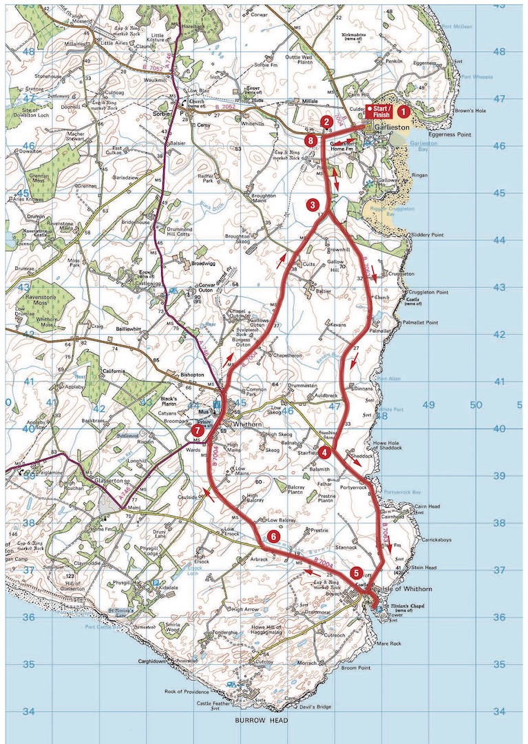
1. From the gate of the Club site (on the reception side of the road) turn right along the seafront, and in 300m turn left along Mill Road. Continue for 1km to a T-junction.
2. 1.3km – Turn left at the junction, signposted to Whithorn, and continue for 1.5km.
3. 2.9km – Turn left along the B7063 to the Isle of 4 Whithorn, and continue for 5.5km to a T-junction.
4. 8.5km – Turn left at the junction, signposted to Isle of Whithorn, B7063. Continue for 3.5km to a T-junction in the Isle of Whithorn. [Turn left here for a diversion to visit the roofless ruins of St Ninian’s Chapel, with its lovely sea views, then retrace the route to the T-junction].
5. 12km – Turn right at the T-junction, signposted to Whithorn, and continue for just over 3km, before 6looking out for a turn on the right.
6. 15.3km – Turn right along the B7004 and continue 7 for almost 3km to a T-junction in Whithorn.
7. 18km – Turn right at the T-junction along High Street, into Whithorn (in 400m there is an optional diversion along Bruce Street, through an archway on the left, that leads to Whithorn Priory and Museum). Continue almost to the end of the village, before turning right by a small red post box, opposite St Ninian’s Yelt, along the B7004. Stay on this road for nearly 7km, all the way back to point 2.
8. 25.2km – Turn right at the junction, signposted to Garlieston, continue to a T-junction opposite the harbour and turn right to reach the Club site.
About the route
- Start/finish: Garlieston Club Campsite, Garlieston, Newton Stewart, Dumfries & Galloway, DG8 8BS.
- Distance: 26.5km/16.5 miles.
- Time: 2 hours.
- Suitable for: All cyclists.
- Terrain: Asphalt all the way, and largely flat.
- Landscape: Grazing farmland, woodland and coastal views.
- Refreshments: Steam Packet Inn, Isle of Whithorn; Railway Inn, Whithorn; Central Café, Whithorn.
About the author

Garlieston
 An ideal location for a relaxing holiday, this site is both peaceful and picturesque. Enjoy the beautiful views overlooking the bay or pick a secluded and sheltered spot for extra privacy.