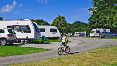
Cae Mawr
Cae Mawr Club Campsite is an unspoilt, secluded spot, with miles and miles of varied and beautiful coastal scenery.
Book this siteMark Sutcliffe enjoys stunning views from the coastal path on the beautiful Isle of Anglesey
The enigmatic Isle of Anglesey (Ynys Môn) offers a taste of Wales in miniature – separated from the mainland by the Menai Strait, the island boasts a predominantly rural landscape with a ruggedly-beautiful coastline, and is dotted with its fair share of castles.
And like the mainland, Anglesey has its own coast path – a 130-mile trail (part of the 870-mile Wales Coast Path) that circumnavigates the island and offers stunning vistas at every turn. The east coast of the island is noticeably more sheltered than its western counterpart, but be wary that it remains rugged in parts.
Our undulating 5.3-mile circular walk from the Club’s Cae Mawr Anglesey Campsite offers just a taste of the coast path, taking in a 1.5-mile section which ascends some 300m, so is best suited to those with a good level of fitness. If you would rather walk to the coast direct from the site to enjoy fish and chips or a pint overlooking the sea, it’s just a five-minute bus ride back to Cae Mawr on the number 63.

1. From the site gate, walk past a pub to join the main road and head right. Continue along the right-hand verge with care for 150m then, after the lay-by, cross the road to take a footpath on the left. Follow the footpath through scrubby woodland then over a gated stile into a paddock where you might encounter some friendly goats. Continue through the paddock and along a track to meet a lane.
2. 0.7km – Turn left and continue for 500m as the mountains of Snowdonia (Eryri) appear ahead. Where the lane peters out, follow a grassy track half left to meet a lane heading left into a hamlet. Follow this lane for 50m then take a footpath on the left and go left again through a kissing gate into some woods. Continue over a stone stile and footbridge and through a paddock and kissing gate to join a concrete track and take the footpath left over a field to a road.
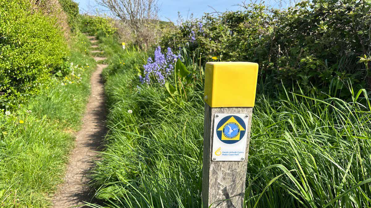
3. 1.9km – Head left along a pavement over the junction and into Benllech. At a crossroads in the centre of town, continue straight across and head downhill past a hotel. At the bottom of the hill, just after the Bay Café, turn left onto the Wales Coast Path.
4. 3.5km – Walk around the front of the café and continue up some rough steps. Continue around the static caravan park, forking left after 250m and stay on the coast path, climbing steadily around the cliff edge. As the coast path starts to descend, keep right and stay on the path around the rocky bay to the next headland.
5. 5.2km – Follow the coast path around the small headland with a white cottage perched on top, then follow a tarmac path left through a caravan park. After 100m fork right, then left by a house.
6. 6km – Leave the coast path and swing back inland, following a gravel track slightly left and uphill to the coast road.
7. 6.3km – At the lay-by, cross with care and continue through a metal kissing gate onto a track. Beyond the farm buildings, continue over fields following the clearwater spring on your right.
8. 6.8km – Continue over a series of stiles and, after the second kissing gate, head sharp left through a gate, around a paddock and over a steep stone stile to reach a country lane.
9. 7.1km – Head right along the lane, then fork right to follow a lane back to the main road at Marianglas. Cross the road with care and follow the pavement left, then left again to return to the Club campsite along a lane past a pub.
Download this route and others to your smartphone or GPS device from the Club’s OutdoorActive page at: out.ac/IPp3bt