

Mark Sutcliffe enjoys a jaunt to a pretty port on Scotland’s west coast. It’s such a lovely route, you’ll be tempted to try it again...
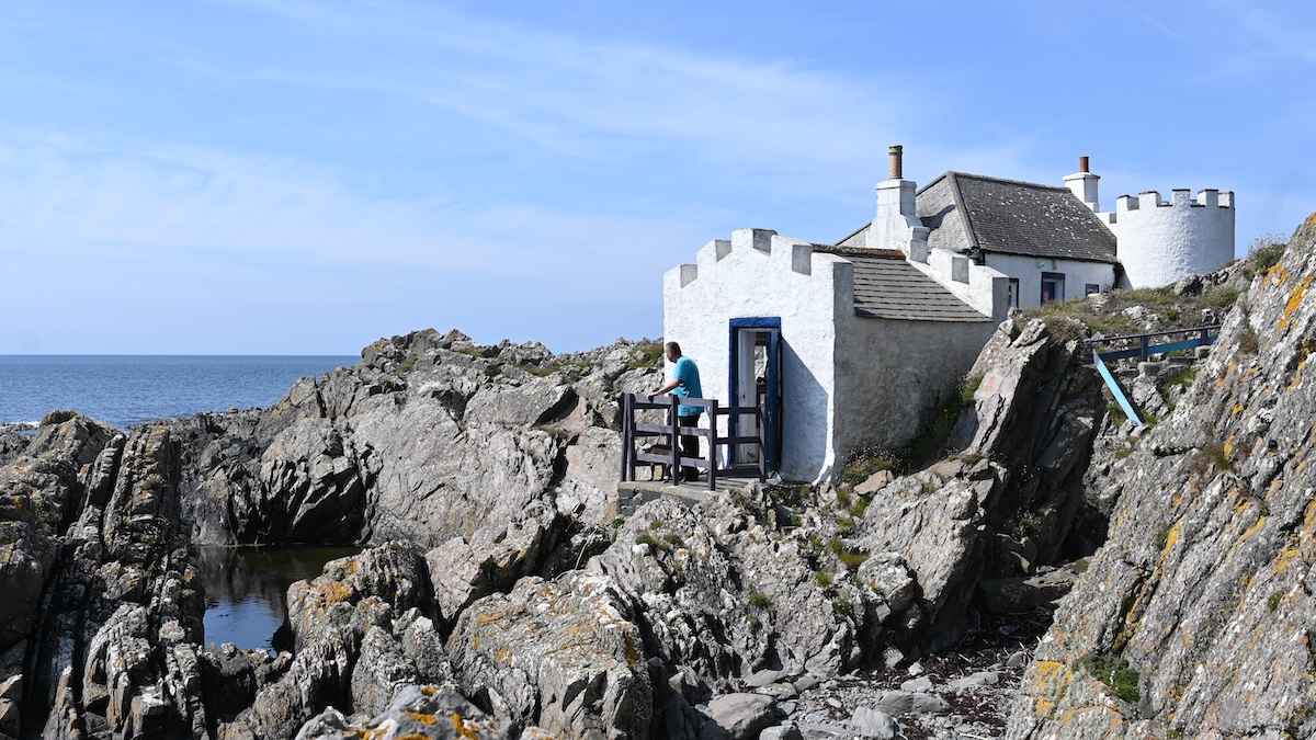
This easy walk heads from New England Bay Club Campsite in the west of Scotland, across the Rhins of Galloway to Port Logan – the scenic setting for the BBC drama, Two Thousand Acres of Sky.
The Rhins is the local name for the hammerhead-shaped peninsula that juts out into the North Channel. The northern reaches of the Rhins are dominated by the busy port of Stranraer, from which ferries depart for Northern Ireland.
Stretching all the way down to the Mull of Galloway – the most southerly point in Scotland – the peninsula is renowned for its beauty. This two-hour leg-stretcher offers stunning views east across Luce Bay and westwards to the Emerald Isle.
Following quiet country lanes, which are almost traffic-free, this five-mile circular route offers relaxed walking and easy navigation – just make sure you keep your wits about you for farm traffic.
Directions
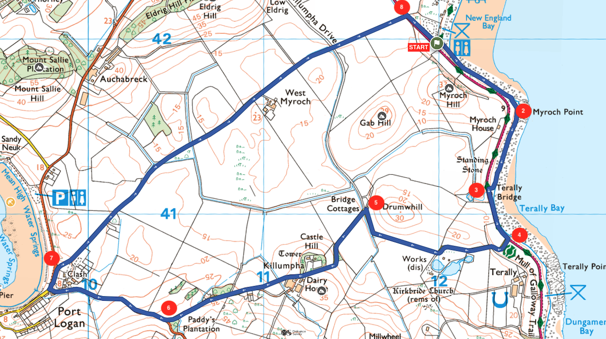
1. Facing the sea, from the main gate of New England Bay Club Campsite, head right and at the top of the beach, join the Rhins of Galloway Coast Path heading south for just over half a mile. It can be hard going on the pebble beach, so try to stick to the ridge just above the high-water line.
2. 0.6km – From the headland at Myroch Point, you might be able to see the perilous shoals of The Scares, an archipelago of rocky islets some 10 miles offshore. Follow the Galloway trail along the top of the beach for another quarter of a mile.
3. 1.0km – At the sea wall, rejoin the road and walk carefully along the verge for 250m before crossing with care to take the lane on the right. Be mindful of traffic here.
4. 1.4km – Continue up the quiet country lane, climbing gradually inland. This isn’t a very busy lane but be aware of farm vehicles. Continue along the lane to reach the cottage at the apex of the sharp bend and follow the road left.
5. 2.2km – Climb steadily towards the hill ahead – topped by the fortified farmhouse of Killumpha Tower. Continue past the large farm heading towards the west coast of the Rhins, which you’ll catch a glimpse of from the top of the hill. From the top of the next rise, the views open out to the west. On a clear day, you can see across the North Channel to the coast of County Down in Northern Ireland. Be mindful of traffic here.
6. 3.7km – At a junction, head right, descending towards Port Logan. This section of road is likely to be a little busier, so take extra care. At Port Logan, there’s a lovely bay with a small harbour at the southern end. (At the other end of the bay is the Fishpond – a fascinating 200-year-old ‘larder’ where fish netted in the bay were once kept until they were required for food)
7. 4.6km – Once you have explored Port Logan return to the car park where you first arrived. Facing away from the sea turn left then immediately right, climbing steadily away from the coast. Continue along the lane between high banks of gorse and bracken which are studded with wildflowers during the spring and summer months. The peninsula benefits from a mild microclimate and almost no frosts, which explains the location of world-famous Logan Botanic Garden nearby. Stay on the lane for a mile and a half, to reach the main road. Be mindful of traffic here.
8. 7.2km – Cross the busy main road with care and join the grassy path immediately opposite, heading back to the Club site via the camping pitches.
Download this route and others to your smartphone or GPS device from the Club’s Outdoor Active page at: out.ac/JaNAH
OS Maps offer
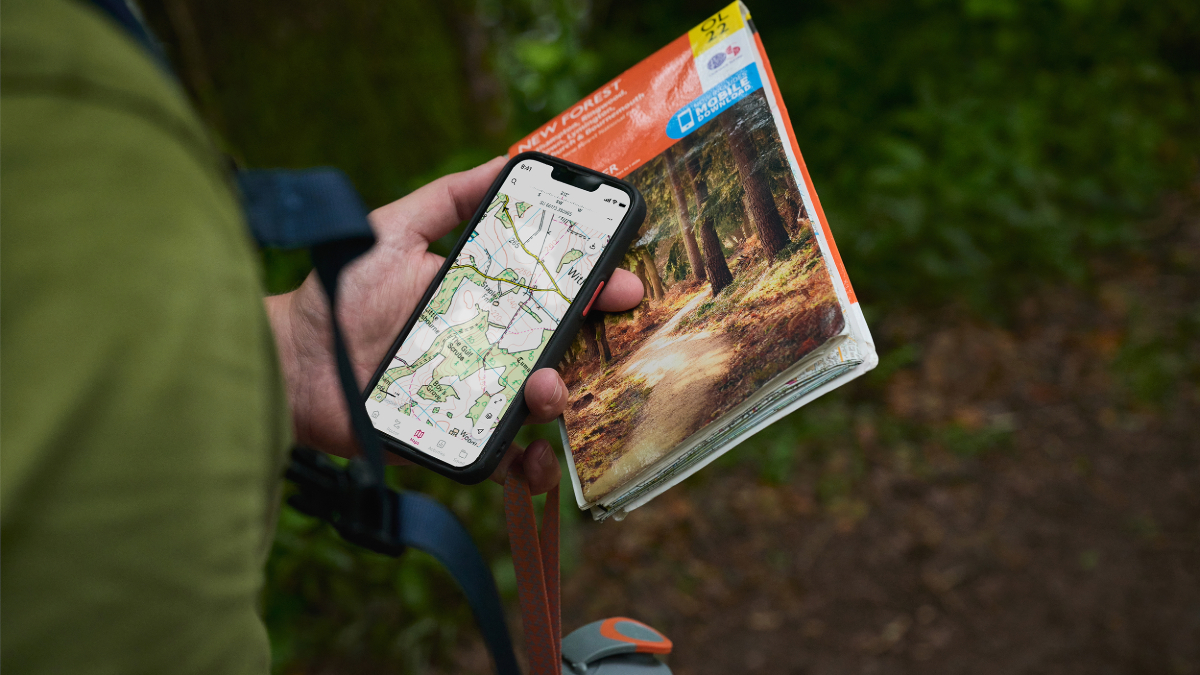
Club members save 25% on an OS Maps annual subscription which gives you access to intuitive route planning tools and real-time GPS navigation while offering downloadable maps and offline access. Find out more at camc.com/ordnancesurvey.
About the route
- Start/finish: New England Bay Club Campsite, Port Logan, Stranraer, Dumfries & Galloway DG9 9NX
- Distance: 4.5miles/7.4km.
- Time: 2hrs 45 min.
- Level: Suitable for occasional walkers with a reasonable level of fitness.
- Terrain: Quiet country lanes and sections of beach.
- Landscape: A couple of short climbs and a slightly busier road to cross.
- Refreshments: None directly on the route.