.jpg?format=webp)
Members save up to 50% on great days out
Members get great savings at attractions throughout the UK and Ireland with our Great Savings Guide
Start savingThe King Charles III England Coast Path is opening up fresh opportunities for walkers. Jonathan Manning tackles a section in Lincolnshire
 Plans are for the path to stretch around 2,700 miles
Thumb through an atlas and it doesn’t take long to find a ‘Victoria’ on a map. From Victoria Land in Antarctica to Mount Victoria in New Zealand, Victoria Falls straddling Zambia and Zimbabwe all the way to the Queen Victoria Sea in the Arctic Ocean, the moniker of Britain’s second-longest-reigning monarch is stamped across the globe.
On the throne for 63 years and seven months during the peak of the British Empire, it’s little wonder that places named in honour of the famously ‘not amused’ queen pepper maps of the world. (Of course, her name has also been given to a plum, a sponge cake, a London Tube line, docks, hospitals, pubs and parks!)
Prior to the First World War, schoolchildren might have parroted that Victoria ruled an empire that spread so far and wide that the sun never set on its territories, but, many decades later, her great-great-granddaughter Elizabeth II was still being honoured with place names. There’s Princess Elizabeth Island in the Zambezi and the Queen Elizabeth Islands in Canada’s Arctic Archipelago, as well as 169,000 square miles of the British Antarctic Territory, which became Queen Elizabeth Land on the 60th anniversary of her coronation.
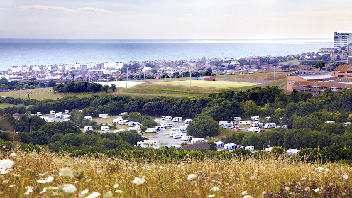
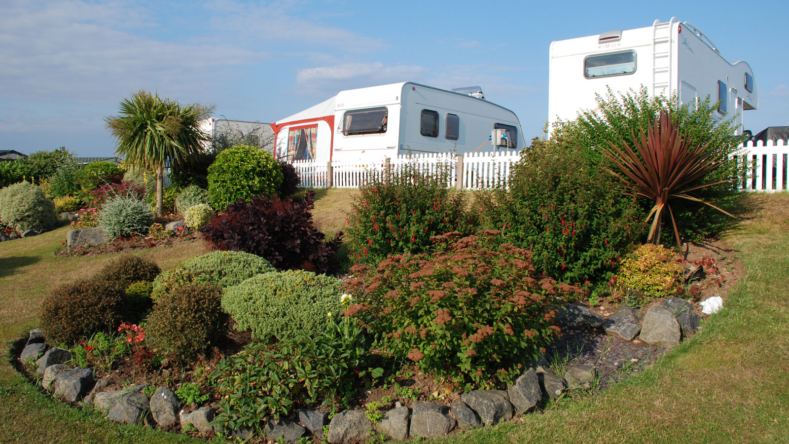 Skegness Sands Affiliated Site
Much closer to home, the King’s name has also been tied to an historic development: to commemorate his coronation in 2023, the fledgling England Coast Path was renamed the King Charles III England Coast Path.
Now, 2,680 miles of cliffs, beaches, estuaries and salt marsh, from Northumberland all the way around the coastline to Cumbria, carry the King’s name. To date, 1,334 miles of path have been opened to walkers. Work has started on a further 1,072 miles, and new sections are being opened regularly – some are brand new rights of way. Other stretches have seen existing footpaths enhanced with smart new signposts. Planning decisions are pending on the remaining 274 miles.
The aim is to have an uninterrupted route that follows the rules of Radio 4’s Just a Minute without hesitation or deviation. Even where the path follows existing coastal trails there are efforts to reroute it closer to the tideline. In some places, the path has opened up public access to the coastal margin – areas of land between the path and the sea. Defra has awarded the path National Trail status, placing it in the premier league of long-distance routes, alongside the likes of the Pennine Way.
For walkers enthralled by Munro or Wainwright tick lists, this sea-hugging trail is pure catnip. Many motorhomers and caravanners will already have walked hundreds of miles of the English coastline, and the new path offers irresistible impetus to start filling in the gaps. With Club sites and Certificated Locations strategically located around the perimeter of England, the overnight infrastructure is in place to support days of walking, followed by the satisfaction of tracing a highlighter pen across a map to mark off completed stretches.
 Pilgrim Fathers Memorial on the north bank of The Haven river
All of which leads me to Boston in Lincolnshire, about 20 miles south of Skegness Sands Affiliated Site. This may not be the poster child coastline for England’s tourist authorities – there are no cliff-backed bays or white sandy beaches – but it’s a perfect example of why the King Charles III England Coast Path is such a magnificent project.
First, the trail genuinely hugs the coastline, running as close as possible to the waves without wetting feet. If it encounters an estuary, it follows the river inland to the first bridge, then heads directly back to the sea. If no right of way currently exists, the trail forges a new one, regardless of how close other paths might run to the waves.
And it’s a reminder that the English coast is not all smugglers’ coves and sea shanties, but a major contributor to the economy. Walking along the north bank of The Haven, the tidal river that flows from the port of Boston to The Wash, there’s a biomass power station and solar farm on the far side, and a vast wood engineering factory to the left, followed by a water treatment works, none of which are likely to feature on postcards or social media feeds.
The relatively new Pilgrim Fathers Memorial marks the location where, in 1607, a group of puritans were arrested while attempting to flee to religious freedom. Some were tried and jailed, but the following year they made it to Holland and in 1620 set sail for the New World.
The monument is the last point of interest before the path enters the extraordinary landscape of the Fens, flatlands engaged in a constant custody battle with the sea. The huge seawall bank, crowned by the coast path, provides the first line of defence against the water. Pumping stations defy gravity as they push water ‘uphill’ into the drains that carry it out to river and sea. And ditches and dykes lie over the land like a giant net, dividing the black soil into neat geometric patterns.
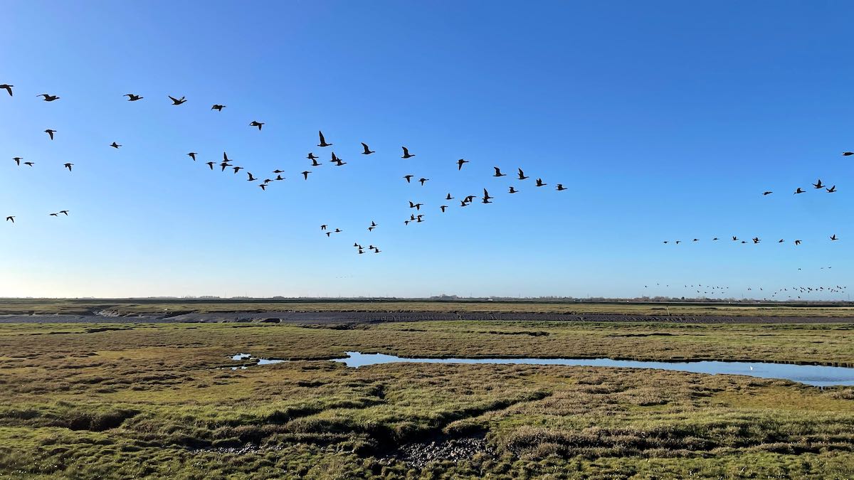
Striding purposefully, I’m overtaken by flotsam drifting effortlessly on the tide to The Wash, while geese hop noisily from one freshly exposed mud flat to the next. It’s enormously relaxing – there are no contours to climb and no fast-changing views to admire, the spirit-level line between land and sky sliced with the precision of a surgeon’s scalpel.
It feels as though there should be a trumpet fanfare and a crashing of waves when the riverside walk finally meets the sea, and the King Charles III Coast Path can truly live up to its name. Instead, there’s a triangulation pillar marking the blindingly obvious – sea level – and miles of muddy foreshore stretching across The Wash to Norfolk.
Turning north, with North Sea Camp, an open prison hunkered in the lee of a sea wall, down to my left, I follow a path that wasn’t a right of way until planners decided that England should have a proper coastal route. This is all the more remarkable because, 500m inland, an established footpath follows another sea bank in the same direction.
A few weeks later I’m walking along the sublime beaches of Northumberland, not far from Alnwick, when I spy a fingerpost sign at the edge of the sand. Closer inspection reveals it to be an arrow for the England Coast Path, and it’s thrilling to think that, should I have a sudden rush of blood to the head, I’ll soon be able to head south, with nothing more than the sea on my left for guidance, and walk uninterrupted back to the stretch I covered in Lincolnshire. For that, there’s only one thing to say: God save the King!
.jpg)


.jpg?format=webp)
